Multispectral CubeSat Imagers: understanding the benefits and limitations.
Imaging the earth in multiple spectral bands are common since the early 1970s. It all started with the Landsat program, and today the Sentinel-2 satellites are building on this history and knowledge. We all understand that a multispectral imager can obtain so much more information than RGB cameras. Information about the status of vegetation, land use, forests, agriculture, and even water quality. However, in the past, there was a belief that these sensors are limited to large multi-million dollar satellites and that multispectral Cubesat imagers are just not up to the task. This blog is looking at the benefits and limitations of multispectral Cubesat imagers.


Why the need for multispectral imagers and data?
We all understand that satellites are the most affordable way to monitor any location on the planet. It goes beyond monitoring locations and capturing beautiful images because there is a need for actionable data to make more accurate decisions faster. We need the information to monitor our environment’s physical, chemical, and biological content across multiple application domains. In this case, high-resolution visible imaging may not be enough to detect plant stress or the destruction of our marine environment.
Multispectral Cubesat imagers may be able to assist with this task.
Per definition, Earth Observation instruments gather information to monitor and assess our environment’s physical, chemical, and biological content. To recognize specific chemical or biological features within an object, we need to include a range of spectral content into the data. For example, high spatial resolution within the visible range may not be enough to recognize patches of vegetation within a desert or discriminate trees from open land or other types of vegetation.
With multispectral data, you can derive quantitative information for many applications, to list just a few:
Create productive, profitable, and sustainable farming:
- Predict and estimate crop yield
- Monitor crop growth and health
- Localize treatments
Monitor and manage our forestry resources
- Monitor deforestation
- Monitor logging patterns
- Optimize timber harvest
- Predict and detect forest fires
Track our vulnerable Land Use/Land Cover
- Identify invasive plant species
- Detect changes in land use
- Assess the impact of disasters


The benefits of Multispectral Cubesat Imagers
Many regards multispectral imagers as the workhorse of spaceborne Earth Observation. Traditionally, large satellites performed multispectral imaging delivering repeatable imaging products used across a comprehensive spectrum of applications. Most of the successes of Earth Observation information systems were built on the back of larger satellites launched in the 80s, 90s, and 2000s.
Today, multispectral Cubesat imagers are becoming the norm. It all started with the launch of multispectral imagers onboard microsatellites, and then Planet popularised it with their constellation of commercial Cubesat multispectral imagers. They were going beyond experimentation to commercial sustainability.
AGILE AEROSPACE
Cubesat multispectral imagers are ideal for testing and developing a minimum viable product, in line with the principles of agile aerospace. The fact is, you can optimize the spectral band selection for your specific business model needs and test it in space for less than $500k within less than 12 months. Getting into space is not a challenge anymore. Validating your business case is, and Cubesat multispectral imagers are ideal in derisking the business development phase in an agile manner.
AFFORDABLE
MultiSpectral Cubesat imagers are affordable. Getting one in space and operating it costs the fraction of a large satellite. And, by launching multiple Cubesats into space to deliver on your business model, operational risks are reduced considerably. Think about it, if a malfunction occurs on a large satellite, the whole mission is jeopardized.
TIME TO SPACE
Time to space is the next significant benefit of Cubesat multispectral imagers. In a commercial world, time to market is everything. Each day you spend time developing technology, you burn cash and frustrate investors.
REVISIT TIME
Large Earth Observation satellites are known for their large swath widths, enabling the coverage of large areas in a single pass. Although multispectral CubeSat imagers may not have the same wide swath as their bigger sisters, the option to fly multiple of them increases the coverage and reduces the revisit time considerably.
DATA COST AND ACCESSIBILITY
The benefits listed above have a direct impact on the data cost and accessibility. Earth Observation data is no more a luxury item but is quickly becoming a commodity. End-users need a lot of it daily and at the lowest cost possible. The whole data delivery process needs to be seamless and effortless.
The Limitations of Multispectral Cubesat Imagers
Multispectral Cubesat imagers are not the silver bullet for Earth Observation. It can address a large amount of the challenges within the industry, but it has limitations.
There are physical limitation and physics that limits the spatial, spectral and radiometric resolution. With this, accuracy is sacrificed.
SPATIAL RESOLUTION
Ultimately, the aperture of a Cubesat imager determines its spatial resolution, and the physical size of a Cubesat determines the hard limit here. For example, going below 4 m ground resolved distance with a 3U Cubesat in multiple spectral bands up to 900 nm is limited by physics. However, this does not mean that you can’t obtain images with more the adequate MTF performance from a Cubesat imager.
SPECTRAL RESOLUTION
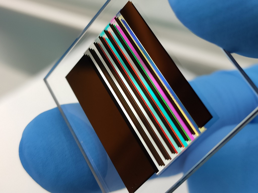
Large numbers of spectral bands across an extensive spectral range complicate the focal plane assembly. Again, advanced focal planes require space and volume. Also, the more spectral bands, the higher the required data throughput, and with data throughput, Cubesat imagers have several limitations. Although, with up to seven bands within the visible and near-infrared range a large number of applications are covered.
RADIOMETRIC RESOLUTION
The limitations on the aperture size and the push for higher spatial resolution directly impact radiometric resolution. Time-delay-integration sensor technology is the recommended way to go to improve SNR. These sensors are usually reserved for the larger satellites with bigger budgets and are not readily available to multispectral Cubesat imager manufacturers. With the latest digital TDI techniques and forward motion compensation to increase the exposure time, signal-to-noise ratios of above 100 are possible with Cubesat imagers.

Turning Multispectral Cubesat Imager Data into Information
Multiple vegetation indexes are available to analyze vegetation properties and can be seen as a spectral transformation of two or more bands. Therefore, by having access to multiple spectral bands, one can calculate a multitude of vegetation indexes. Below is a few examples of vegetation indexes used to turn Cubesat multispectral imager data into actionable information.
- Normalized Difference Vegetation Index (NDVI) is maybe the most common and widely used remote sensing index. NDVI is a dimensionless index that describes the differences between visible and near-infrared reflectance of vegetation cover and ideal for monitoring vegetation dynamics at regional and global scales.
NDVI = (NIR – Red)/(NIR + Red)
- Normalized Difference Water Index (NDWI) is strongly related to plant water content and, therefore, a good proxy for plant water stress. By monitoring changes in leave water content for irrigation or drought management applications, the NIR and SWIR bands are recommended:
NDWI = (NIR – SWIR)/(NIR + SWIR)
- Waterbody detection is done by using the Green and NIR bands:
NDWI = (Green – NIR)/(Green + NIR)
- Visual Atmosphere Resistance Index (VARI) uses color correction to minimize reflectance, scattering, and other atmospheric effects to estimate the fraction of healthy vegetation in an area. The algorithm was designed and tested to work with visible or RGB sensors.
VARI = (Green – Red)/(Green + Red – Blue)
- Modified Soil-adjusted Vegetation Index (MSAVI) addresses the limitations of NDVI when looking at areas with a high content of visible soil like recently planted crops. Therefore, MSAVI increases the dynamic range of vegetation signals to minimize the soil background influence.
MSAVI = (2 * NIR + 1 – sqrt ((2 * NIR + 1)2 – 8 * (NIR – Red))) / 2
- Modified Triangular Vegetation Index (MTVI2) is applied to detect leaf chlorophyll content at the canopy scale while being insensitive to leaf area index.
MTVI2 = 1.5*(1.2 * (NIR – Green) – 2.5 * (Red – Green)) sqrt ((2 * NIR + 1)² – (6 * NIR – 5 sqrt(Red)) – 0.5)
- We also see an increase in the demand and use of the Red-Edge Bands. Traditionally the leaf chlorophyll content was determined using the NIR and Green bands, better known as the Green Chlorophyll Index (CIGreen), to estimate production capacity. However, the Red-Edge band is susceptible to the chlorophyll content. Hence the Red-Edge Chlorophyll Index (CIRed-Edge) is a good indicator of crop health.
CIGreen = (NIR / Green) – 1
CIRed-Edge = (NIR / Red-Edge) – 1
Simera Sense's Multispectral CubeSat Imager Solutions


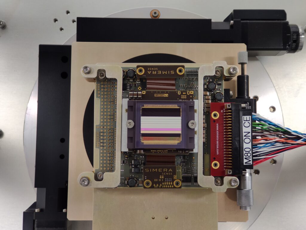
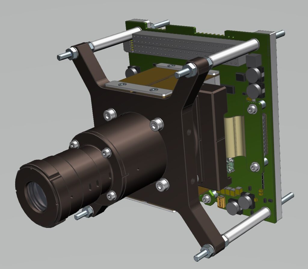
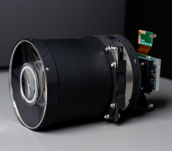
Simera Sense provides a range of high-performance multispectral solutions tailored for Cubesats.
MultiScape50 | |||
GSD @ 500 km | 30 m | 4.75 m | 1.5 m |
Swath @ 500 km | 120 km | 19.4 km | 14.0 km |
Spectral Range | 450 nm to 900 nm | ||
# of Spectral Bands | Up to 7 Bands | ||
Volume | 95.9 x 90.2 x 112 mm | 98 x 98 x 176 mm | 200 x 200 x 304 mm |
Mass | 0.4 kg | 1.2 kg | 12 kg |