Cameras
for Space
Making space-based
imaging effortless
- This is Simera Sense
We empower our customers with high quality, advanced end-to-end imaging solutions. From capturing the photon that enters the detector, to the final analysis of your images.
Payloads launched
Days collectively in space
EO missions enabled
What we Offer
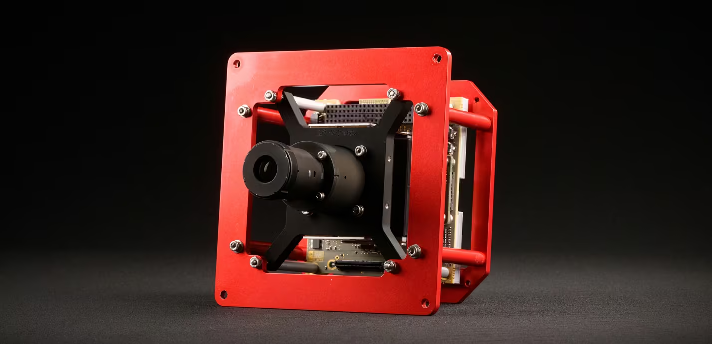
xScape50
Wide-angle imager solution for more frequent Earth observation cover using nanosatellites.
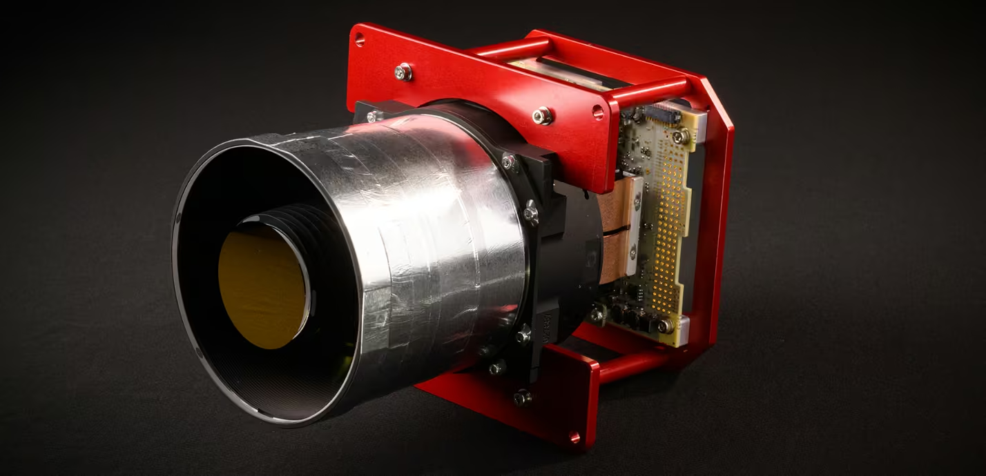
xScape100
High-performance Earth observation optical payloads for compact nanosatellites.
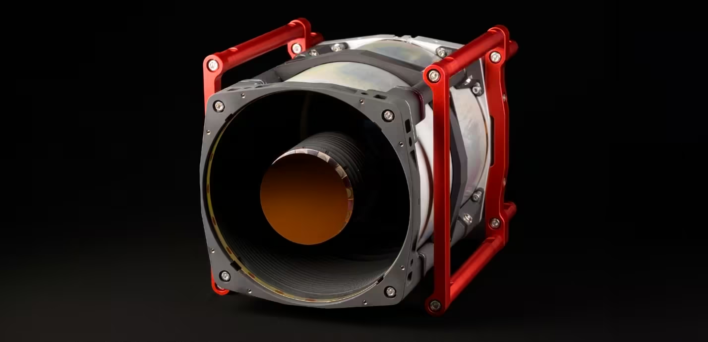
xScape200
Optical payload engineered for exceptional spatial resolution using 16U CubeSats to bring Earth observation applications to life.
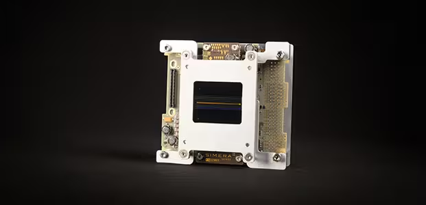
Imager Electronics
Enable your mission’s custom optical front-end with flight-proven imager electronics.

Express Image Processing
Reduce your time from first light to a presentable image on the ground. This product is ideal for use during spacecraft commissioning & early operations or for customers that don’t require scientific level products.

Advanced Image Processing
Take your Earth observation business model to the next level. With our turnkey image processing and absolute calibration package. You can extract optimal value from the high quality and consistent image products.
News
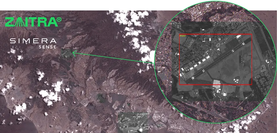
November 27, 2025
Simera Sense and Zaitra Partner to enhance Earth observation efficiency with Edge Suite for On-Orbit Intelligence

September 18, 2025
Infinite Orbits selects Simera Sense to supply Space-based Space Situational Awareness payload with Orbit Guard™ Mission as part of the CNES and France 2030 program.
Focus on Your Mission
By partnering with Simera Sense, you get more than a payload provider; we become your in-house Earth observation specialists.
Satellite Vibration Analysis
Making sure that the payload will survive the trip from the ground to space is vital.
Satellite Thermal Analysis
The payload’s thermal environment is crucial to capture sharp images.
Accelerate Time to Space
Leverage our ecosystem expertise and standardised offerings to improve your operational and market efficiency.
Standardised Products
To reduce cost and effort, we standardise our interfaces for nano- and microsatellites.
Leverage Our Ecosystem
The success of an EO mission requires teamwork across the up-and downstream ecosystem.
Manage Your Risks
Our know-how will eliminate the risks associated with the harsh environments where these complex instruments are operated.
Satellite At Risks
We bring the unique skills required to integrate an optical instrument into a satellite.
EO Market Risks
We help you to climb the data information continuum to navigate your EO market risks.


