Simera Sense is committed to supporting our customers and data users throughout the process of integrating, configuring, calibrating and processing their EO mission’s data.
This software option allows for rapid processing of images to get a first glance of the image characteristics. This software uses the ancillary information obtained from the satellite and camera metadata to geolocate the image. Basic radiometric corrections are applied from pre-flight characterization datasets (DN to ToA reflectance). Geometric interband correction is also performed to produce the final image product, which contributes to the optimisation of the satellite configuration during the commissioning and early operations phase.
Rapid Processing
Image Characteristics
Rational Polynomial Coefficients (RPCs)
Express Image Processing
Express Image Processing
Rapid processing of imagery to get a first glance of the image characteristics, ideal for use during spacecraft commissioning & early operations.
This end-to-end solution includes the Image processing from L0 to L1C and full vicarious geometric and radiometric calibration. The calibration technique follows the European Space Agency’s (ESA) EDAP+ best practice guidelines, which ensure that your mission’s imagery is processed to the same standard as that utilised in Classic Space. The supportive scientific files generated during image processing serve as input towards Analysis Ready Data. This is a flagship offer for those seeking accurate and scientific quality data from their mission.
EDAP+ Best Practice Guidelines
Absolute Radiometric and Geometric Calibration
Accomplish Analysis Ready Data (ARD)
Image Quality Report
Advanced Image Processing
Advanced Image Processing
This solution generates a set of calibration coefficients following ESA EDAP best practice guidelines and the QA4EO principles. These absolute radiometric and geometric coefficients are used by the system to produce Level 1 image products up to the Ortho-ready level.
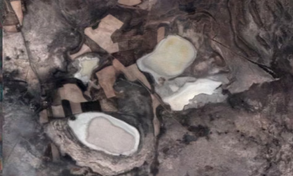
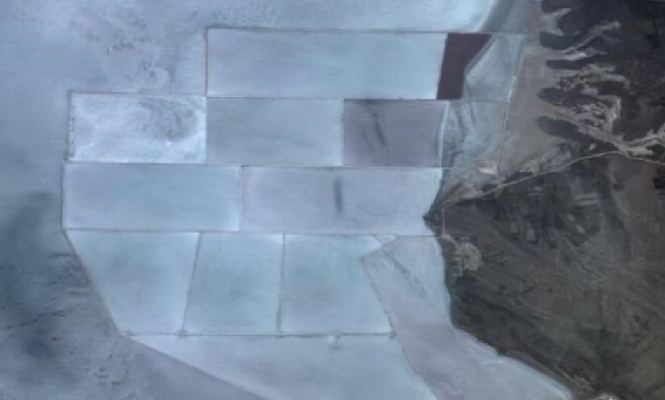
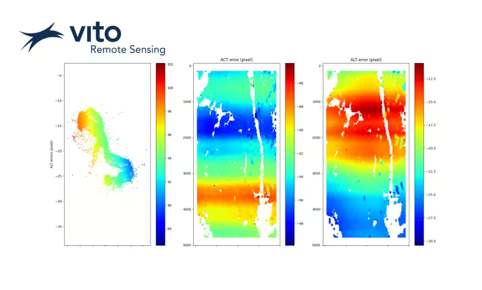
Verification report of geometric and radiometric accuracies. The report aims to evaluate data quality both qualitatively and quantitatively. This assessment is designed to determine potential artefacts within the data, which can be addressed through radiometric and/or geometric recalibration measures. It aims to offer insights into the overall performance of the satellite-camera by analysing the noise levels present in the acquired imagery.
Determine Image Artefacts
Radiometric and Geometric Measurements
Trusted Science
Satellite-Camera Performance Insights
Quality Assessment Report
Data Quality Report
This report will provide the overall measured quality and accuracy of the acquired data from the sensor, and provide a snap-shot report on its operational performance.