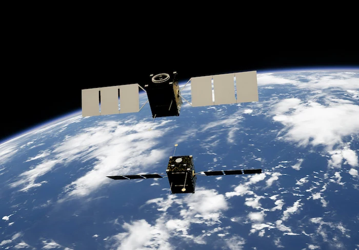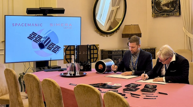
Supporting defence situational awareness with compact, high-resolution Earth Observation
Border security is an increasingly complex challenge. Defence and security organisations must monitor vast geographic areas, often across remote terrain where ground-based observation is difficult, infrastructure is limited and access can be challenging.
Maintaining situational awareness across these regions requires reliable information about the landscape and how it changes over time. Satellite-based Earth observation offers a way to complement existing surveillance capabilities, providing repeatable imagery of areas of strategic interest and supporting informed decision-making.
As smaller satellite platforms become increasingly capable, optical imaging technology is creating new opportunities for defence organisations to develop flexible, space-based observation capabilities.
The role of satellite imagery in border security
Effective border monitoring requires more than observing a boundary line. It involves understanding the surrounding terrain, monitoring infrastructure and identifying changes that may warrant further investigation.
Optical satellite imagery can support these objectives by providing a consistent visual record of large geographic areas. When imagery is collected over time, analysts can compare acquisitions to identify changes in roads, buildings, land use and other visible features.
Potential applications include:
- Remote border monitoring: Observing changes across extensive or difficult-to-access regions.
- Infrastructure monitoring: Tracking developments around border crossings, transport routes and strategically important facilities.
- Change detection: Comparing imagery acquired at different times to identify new construction, changes to existing infrastructure or other developments.
- Situational awareness: Providing geographic context that can complement information from ground-based sensors, aerial observation and other intelligence sources.
Satellite imagery is not a replacement for all other surveillance systems. Its value lies in providing an additional source of information that can help defence organisations build a more comprehensive understanding of their areas of interest.
From imagery to actionable insight
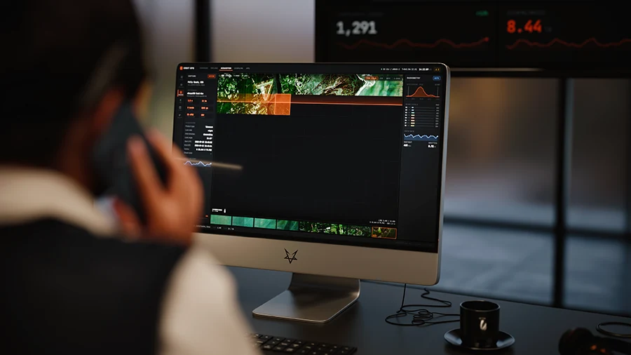
The value of Earth Observation extends beyond the acquisition of images. The ability to compare imagery, identify changes and integrate observations into existing analytical workflows is central to turning satellite data into useful information.
For example, consider a defence organisation responsible for monitoring a remote border region with limited road access. An initial satellite image establishes a baseline of the terrain and existing infrastructure. Subsequent acquisitions can be compared against that baseline to identify visible changes, such as new roads, construction activity or modifications to existing facilities.
Analysts can then investigate relevant changes using additional intelligence sources and determine whether further assessment is required.
The frequency of observations, the spatial resolution of the imagery, cloud cover and the nature of the target all influence what can be detected and how quickly changes can be identified. Satellite imagery should therefore be evaluated as part of a wider mission architecture, rather than as a standalone solution.
Why imaging capability matters
Selecting an optical imaging payload involves balancing spatial resolution, geographic coverage, payload size, mass and power consumption against the requirements of the mission.
Higher spatial detail can help analysts examine smaller features, while wider coverage can improve the efficiency of collecting imagery across larger areas. These requirements must be considered together when designing an Earth observation capability.
Compact imaging payloads also offer satellite programme designers greater flexibility when developing smaller spacecraft and distributed satellite architectures. Depending on the mission design, these architectures can provide additional opportunities to collect imagery across areas of interest.
For defence organisations, the relevant question is not simply how much detail a camera can capture. It is how effectively its imaging capabilities, spacecraft platform and collection strategy work together to support the mission.
Introducing the MultiScape200 Dual-Use
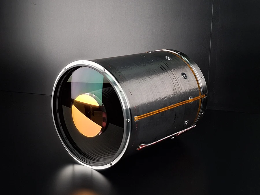
Simera Sense’s MultiScape200 Dual-Use (DU) is an optical Earth observation payload designed for applications spanning defence and commercial markets.
Its specifications provide a starting point for evaluating its suitability for missions that require detailed optical imagery from a compact satellite platform.
Key capabilities include:
- 1.5 m ground sampling distance (GSD): Provides a defined spatial sampling capability for observing surface features, subject to imaging conditions and target characteristics.
- 12.3 km swath: Balances spatial detail with the width of the ground area captured in an imaging pass.
- Panchromatic and eight-band VNIR imaging: Combines panchromatic imaging with visible and near-infrared spectral information to support different Earth observation requirements.
- Compact 12U volume: Supports integration planning for appropriately designed satellite platforms.
- 9.3 kg payload mass: Provides a defined mass parameter for spacecraft sizing and mission design.
- 8.75 W imaging power: Supports spacecraft power-budget planning.
Together, these characteristics offer satellite programme designers a defined set of imaging and integration parameters to assess against their mission requirements.
The suitability of the payload for a specific defence application will depend on factors including the required ground resolution, collection strategy, revisit frequency, spacecraft configuration, image processing and operational environment.
A dual-use approach to Earth Observation
Defence and commercial Earth observation programmes can share many underlying technical requirements, including the need to observe infrastructure, monitor land-use changes and acquire consistent imagery over time.
The MultiScape200 DU’s dual-use positioning reflects the potential to support missions across both sectors.
For defence and security organisations, optical imaging can contribute to border monitoring, infrastructure assessment and broader geographic situational awareness. Related commercial applications include transport infrastructure monitoring, agricultural observation and environmental assessment.
A dual-use approach can create opportunities for satellite operators and programme developers to serve multiple markets using suitable imaging capabilities. Whether a particular payload or mission can be used across these applications depends on programme requirements, licensing and applicable regulatory restrictions.
For organisations developing new Earth observation programmes, this creates an opportunity to evaluate payload capabilities against both immediate operational objectives and longer-term mission plans.
Building the next generation of defence observation capabilities
Space-based optical imaging offers defence organisations another way to observe areas of strategic interest, monitor visible changes and complement existing intelligence capabilities.
As satellite platforms evolve, compact payloads can provide additional options for developing Earth observation missions tailored to specific operational requirements. Realising that potential requires careful consideration of image quality, coverage, revisit performance, spacecraft integration and the wider intelligence workflow.
The MultiScape200 DU provides a set of optical imaging capabilities for organisations evaluating dual-use Earth Observation missions.
Planning a defence or security imaging mission?
Simera Sense works with satellite programme developers and mission teams to explore optical imaging requirements and payload suitability.
Contact Simera Sense to discuss your mission objectives and discover whether the MultiScape200 DU is the right fit for your Earth Observation programme.
Author: Leon van Heerden, Marketing Manager